Preparing to Launch Landsat 9
Documenting Land Change Over 50 Years
By Kelly McSweeney
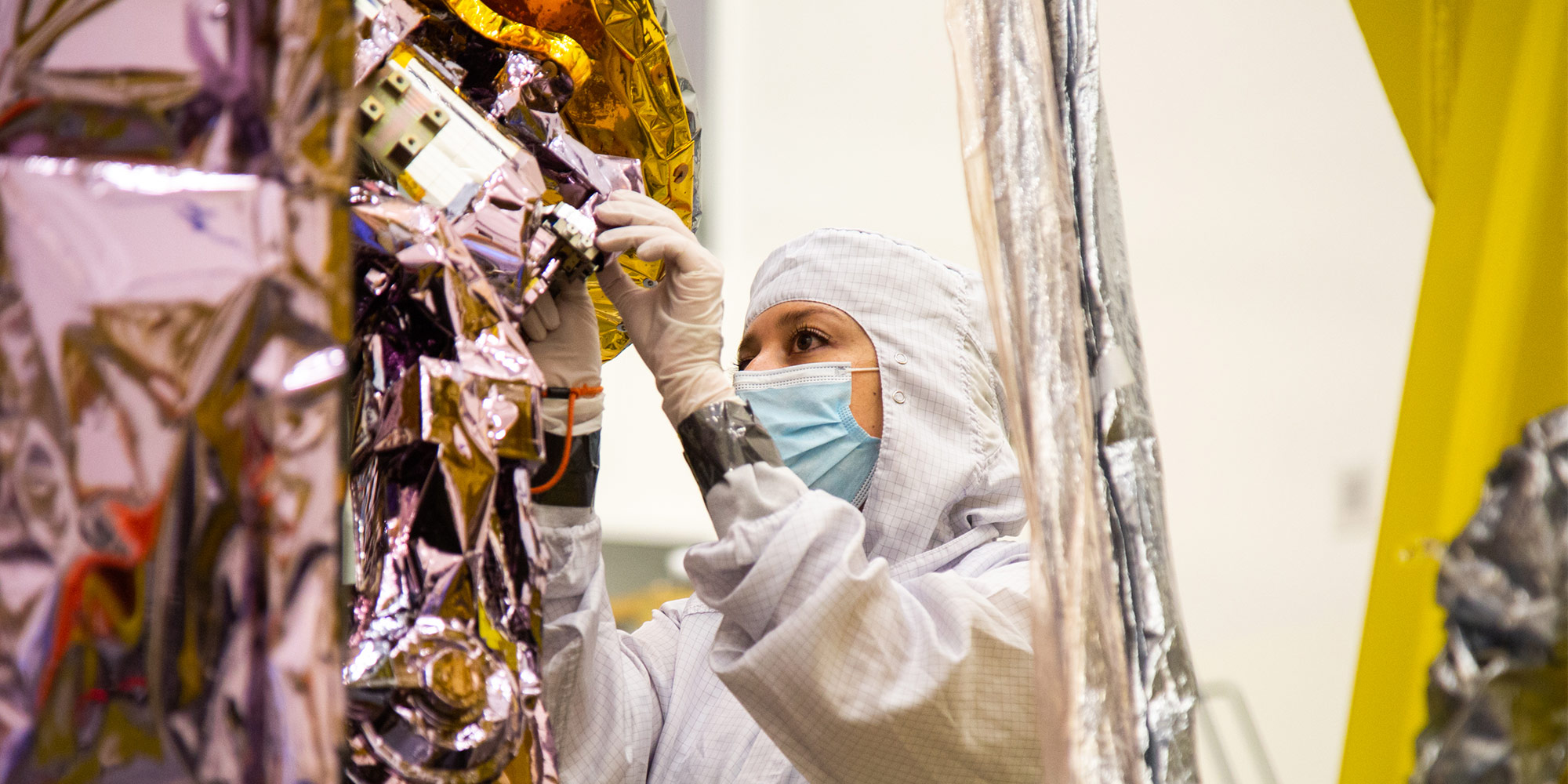
How many things can go wrong with a spacecraft? As a systems engineer at Northrop Grumman, Mitch Sangalis asks himself exactly that every single day. He focuses on fault management for Landsat 9 — the latest satellite in the nearly 50-year-old Landsat series – Landsat 1 launched in 1972. In that role, he thinks about all the possible ways that the spacecraft could break. You could call him a professional pessimist, but in thinking of all the ways things could go wrong, Sangalis is helping to make them better.
Together with the fault management team, Sangalis puts mechanisms in place to have an automatic backup plan for any disaster scenario. After all, if something goes wrong during the launch or in orbit, they won't be able to repair the satellite when it's in space.
What is the Landsat Program?
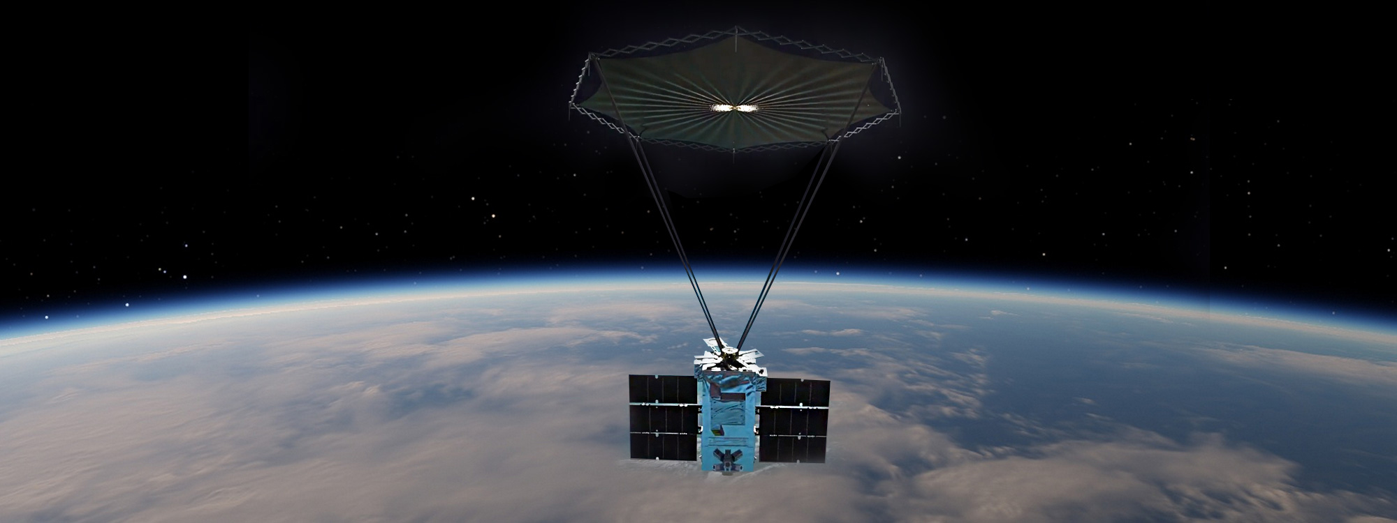
Landsat 9, which is scheduled to launch in September 2021, joins a legacy of satellites that have watched over the Earth for nearly five decades.
"It's the world's longest continuous data record of the Earth's surface," Sangalis says.
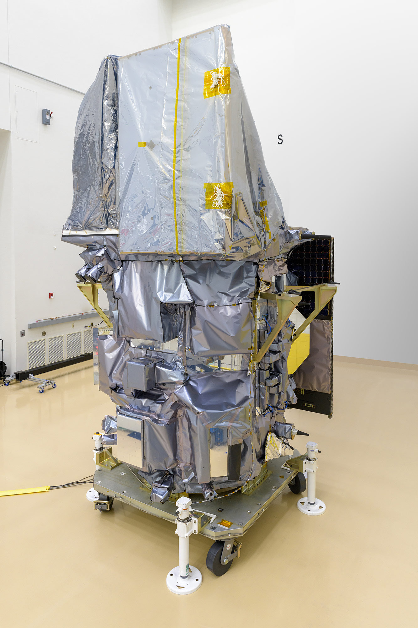
The Landsat missions are jointly managed by NASA and the United States Geological Survey (USGS). Northrop Grumman is building the "bus," which is the vehicle portion of the satellite that delivers, holds and protects the scientific instruments.
The program aims to track land use and to document land change due to climate change, urbanization, drought, wildfire, biomass changes, and other natural and human-caused changes, according to USGS.
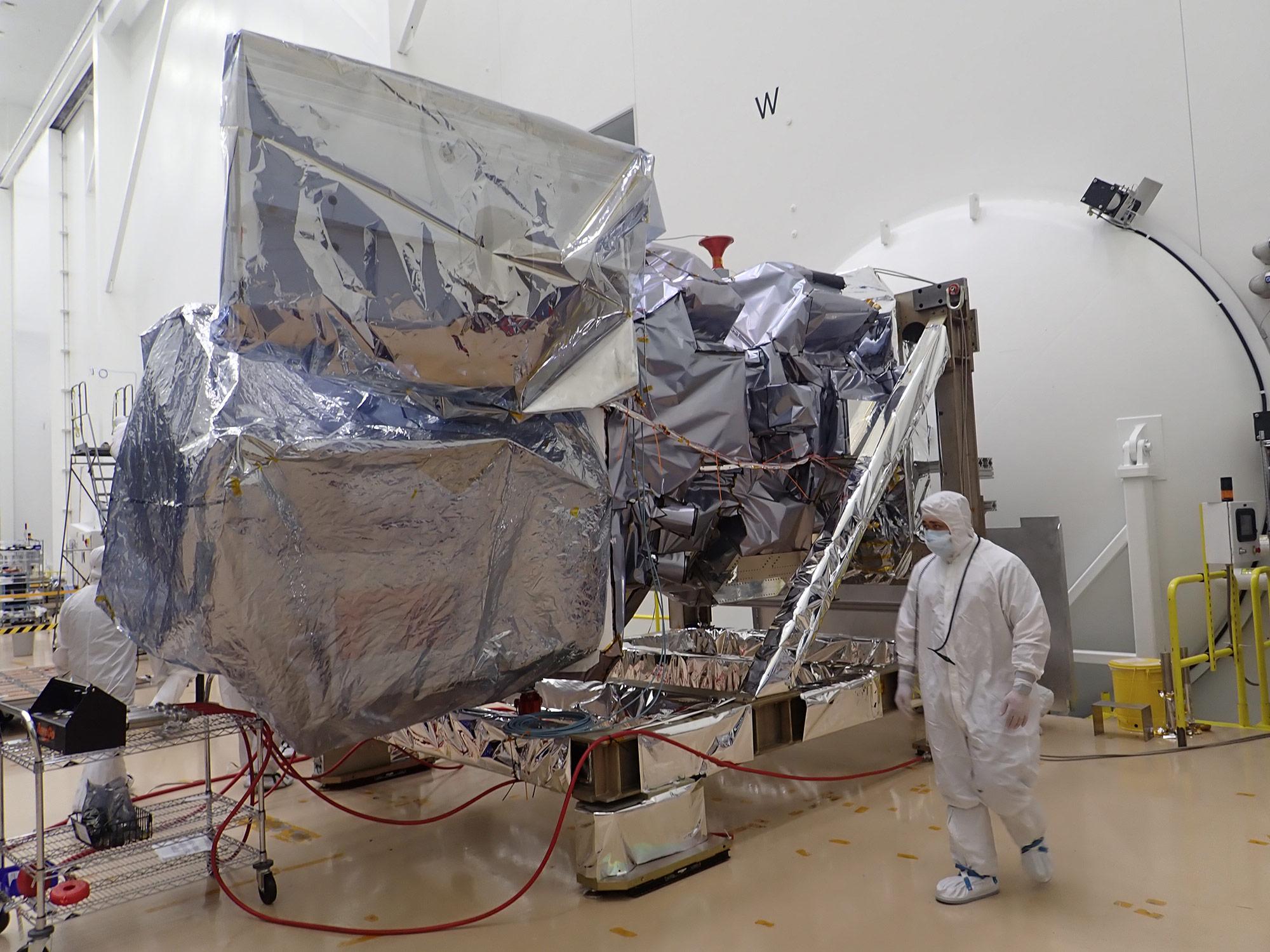
A Ride on a Rocket: Sending Satellites into Orbit
To get into space, the satellite sits on the top of a rocket. Later this year, the rocket will take off from Vandenberg Space Force Base in California.
"The satellite will ride on the rocket for roughly an hour before it separates from the launch vehicle," Sangalis explains. He adds, "Separating from the launch vehicle is a critical point because we have to separate cleanly and then wake up the spacecraft so that we can start talking to its software."
Located in low Earth orbit, Landsat satellites move at such a fast speed, that they are constantly taking laps around the planet.
"They pass over your head in about 10 minutes' time," says Sangalis. "Making their way around the earth once every 98 minutes."
From this vantage point, two Landsat satellites can work together to see the entire surface of the Earth. "They are able to take a new image of every point on the Earth every eight days," Sangalis explains.
Preparing for the Unexpected: Automatic Backup Plans
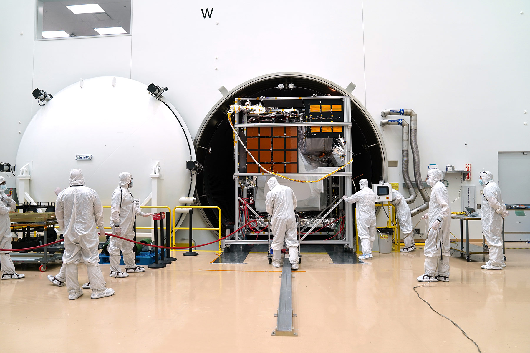
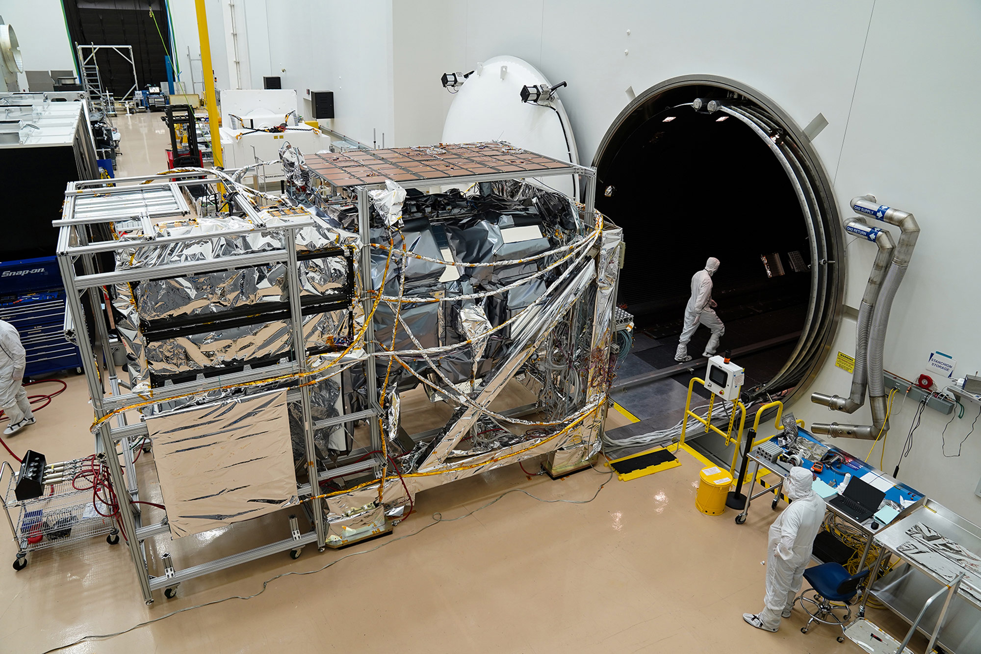
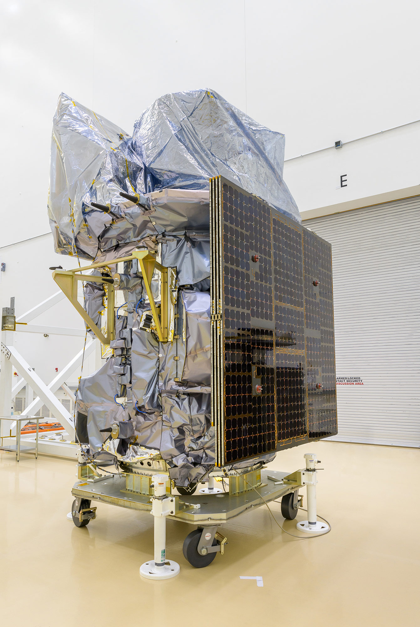
The spacecraft bus is the primary structure, which is about the size of a car. Within that structure, there are several subsystems, including power, communications and propulsion.
Then, each subsystem has a number of components — for example, the battery, the solar array and the propellant tank. All these components have to survive the extreme temperatures and vibrations of launch, and then be durable enough to last for years in space. Fault management engineers consider the worst-case scenarios and solve them before they can happen.
For example, if the propulsion system develops a leak or a reaction wheel stops working, the spacecraft software is already programmed with algorithms that can respond to the problem autonomously. In these disaster scenarios, the fault management software would automatically send commands to the spacecraft from an internal command queue to put the spacecraft into Safe Mode. The satellite would stop doing science activities and turn off any optional activities to make it as simple as possible for the ground teams to investigate and solve the problem.
50 Years in the Making: Understanding our Earth’s Surface
"The primary goal is understanding how the Earth and its environment is changing," Sangalis says.
By keeping a consistent record of the Earth's surface, the Landsat satellites give policymakers facts to inform their decisions. Plus, the data is freely and openly available to the public through a USGS archive, so researchers and anyone can study the Earth to find out how it has changed over time. Scientists can study how forests and glaciers have changed over the decades, and humanitarian organizations can assess possible preparedness, response, resilience and impacts to natural hazards. While city planners use the data to understand and plan around urban growth because they are able to see how things expand on a large scale, Landsat also delivers data at “field scale”, using data products such as crop stress maps, crop production estimates, and agricultural water consumption.
The public can also benefit by exploring new tools like Google Earth Timelapse, which is directly derived from Landsat data. With this tool, you can view any point on earth and rewind back to the early 1980s to see how it changes over the decades.
"The Landsat program is critical for understanding the health of the planet because you don't only get to see how things stand today," Sangalis explains. "Because of the long 50 year history, you can see the trends, which is extremely helpful."
The Landsat 9 is the fourth Landsat spacecraft built by the company and is based on the flight proven LEOStar-3 platform. Sangalis added, “Working to put complex systems into space and successfully operating in orbit can be very challenging. We take pride in the careful planning of the mission, including developing contingency plans so the mission can continue.”
More innovation stories
Read all stories about advanced technology and innovation >>
